Authors:
Urška Kristina Škerl, Giacomo Nanni, Fidel Thomet
Collaborators:
Slovenian Maritime Administration
430th Naval Division of the Slovenian Armed Forces, Slovenian Ministry of Defence
Koper Central Wastewater Treatment Plant
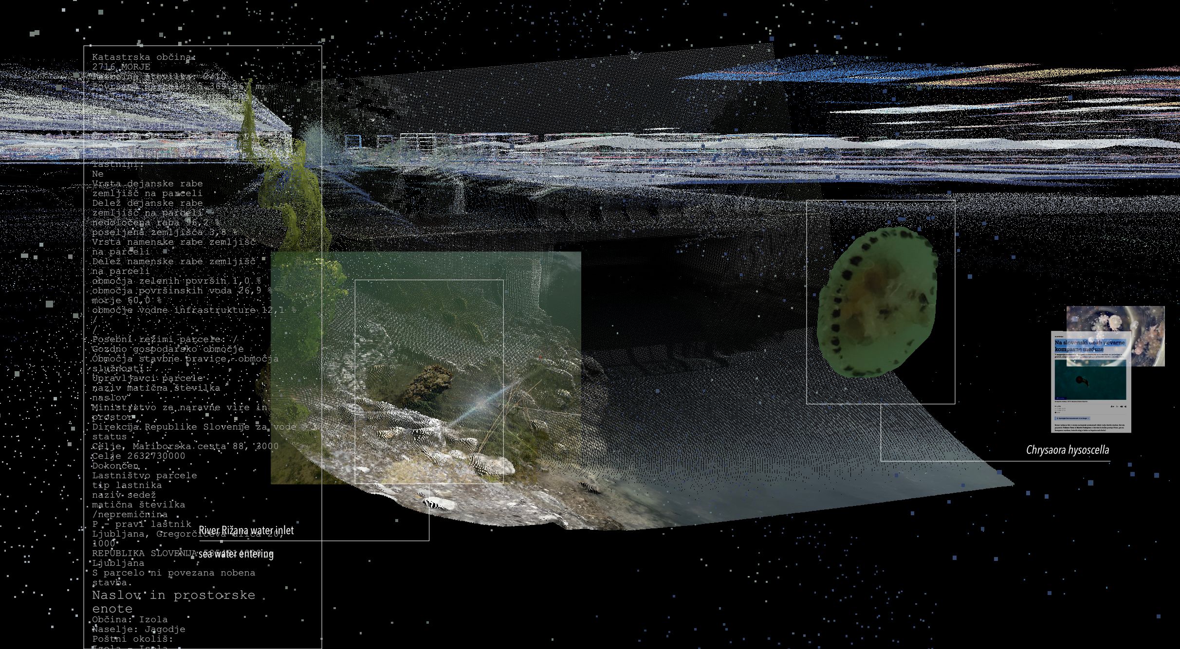
A video project mapping land marked as public good in Slovenia's Land Register - across Koper and Ankaran municipalities. Three trails follow water, streets, and mobility networks as a point cloud, populated with imagery collected on-site and in other media, tracing access, movement, and asking who the stakeholders are.
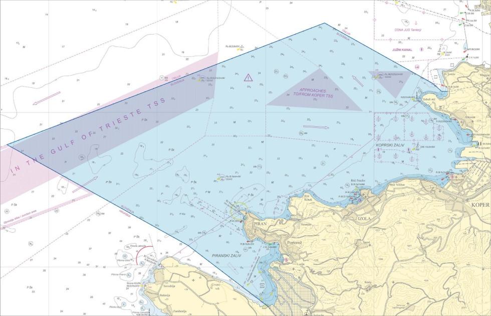
The Slovenian Maritime Administration is a national authority responsible for maritime transport, port infrastructure and the safety of navigation, while also overseeing maritime traffic and working to protect the marine environment.
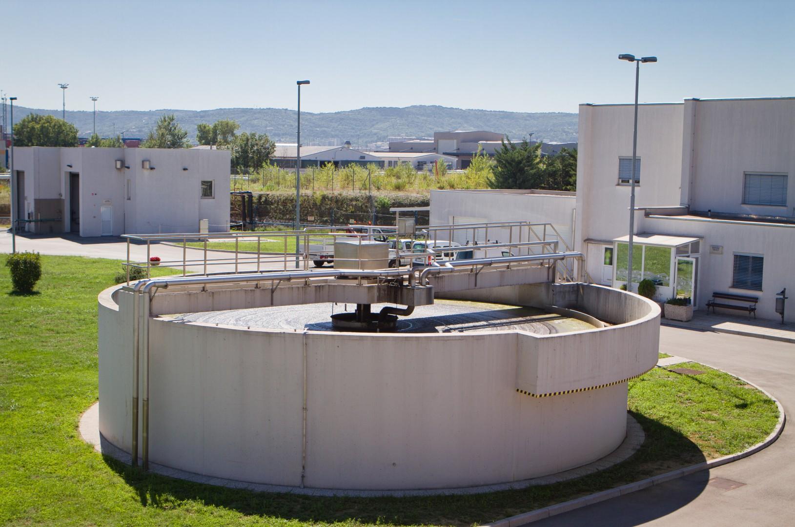
The Central Wastewater Treatment Plant of Koper treats wastewater from the municipalities of Izola, Ankaran and Koper, using biological and other treatment processes to reduce pollution and ensure that treated water is safely returned to the natural environment.
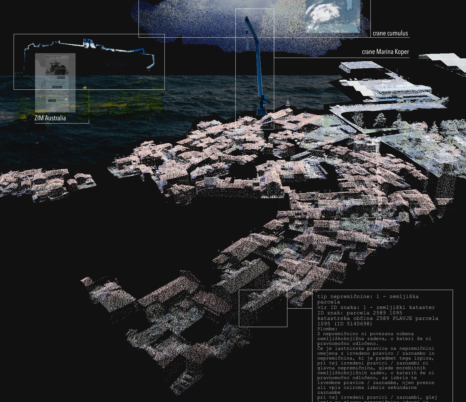
Who has access to public good, and what these lands enable. Who are the stakeholders? Who can cross the threshold? Who uses public good, and in what way?
Often, unknowingly, actions in the private sphere activate vast systems of public good and the services these lands provide, bringing us into contact with institutions, more-than-humans, and their geographies. In the narrow area of the Koper and Ankaran municipalities, we examine the lands designated as public good in the Land Register of Slovenia (609 – notation of public-good status). Public good land lots are non-rivalrous and non-exclusionary. Seas, rivers, mobility infrastructures, and streets are common examples. The legislative framework of the public good institute prescribes access to and enjoyment of such lands to everyone, under the same conditions. In this project, we ask who has access to public good, and what these lands enable. Who are the stakeholders? Who can cross the threshold? Who uses public good, and in what way?
The project unfolds through three partly overlapping trails, each tracing material, social, ecological, and infrastructural elements in space, examining means of access, modes of movement, and spatial entanglements at each site. How does a package, ordered online, move through space? When does the water enter a national jurisdiction? What agency do immovable trees have? Data retrieved from the Land Register is mapped in a point cloud. The fragmented image of sea, rivers, and streets becomes populated with on-site experience, reading the vertical column, surrounding media, and the underlying cadastral data that constructs the environment. All data extracted is, in this sense, public good too. Together, the three trails trace public good as an uneven threshold, and while asking who is public, what is good, and for whom, nevertheless acknowledge that public good can be reassigned, dredged, or fenced off, which is why mapping it, questioning its status, expanding it and using it with care, matter.
Who has access to public good, and what these lands enable. Who are the stakeholders? Who can cross the threshold? Who uses public good, and in what way?
Often, unknowingly, actions in the private sphere activate vast systems of public good and the services these lands provide, bringing us into contact with institutions, more-than-humans, and their geographies. In the narrow area of the Koper and Ankaran municipalities, we examine the lands designated as public good in the Land Register of Slovenia (609 – notation of public-good status). Public good land lots are non-rivalrous and non-exclusionary. Seas, rivers, mobility infrastructures, and streets are common examples. The legislative framework of the public good institute prescribes access to and enjoyment of such lands to everyone, under the same conditions. In this project, we ask who has access to public good, and what these lands enable. Who are the stakeholders? Who can cross the threshold? Who uses public good, and in what way?
The project unfolds through three partly overlapping trails, each tracing material, social, ecological, and infrastructural elements in space, examining means of access, modes of movement, and spatial entanglements at each site. How does a package, ordered online, move through space? When does the water enter a national jurisdiction? What agency do immovable trees have? Data retrieved from the Land Register is mapped in a point cloud. The fragmented image of sea, rivers, and streets becomes populated with on-site experience, reading the vertical column, surrounding media, and the underlying cadastral data that constructs the environment. All data extracted is, in this sense, public good too. Together, the three trails trace public good as an uneven threshold, and while asking who is public, what is good, and for whom, nevertheless acknowledge that public good can be reassigned, dredged, or fenced off, which is why mapping it, questioning its status, expanding it and using it with care, matter.